
I had a break in my routine recently, and I wisely took advantage of the situation to turn it into a cycling opportunity.
Short story: I dropped my truck at my son’s apartment, taking my bike in the back, and then rode to work.
He lives a few miles north of town, so I saw this as a chance to take a different route to my office. The apartment complex is located along a busy divided highway, but luckily there is a wide shoulder for us pedal people. Actually a fairly low stress way to travel, even though it is a bit noisy.
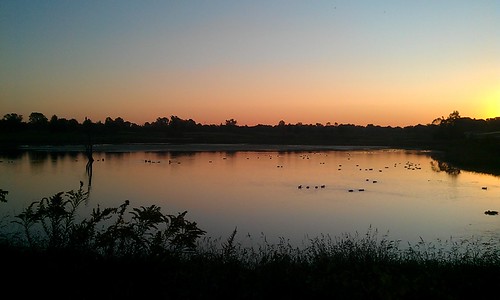
At Cumberland Ave, I was able to jump onto the Cattail Trail, which runs along the edge of Celery Bog towards campus. The quiet scenery with the occasional runner is a big change from the cacophony of the highway.
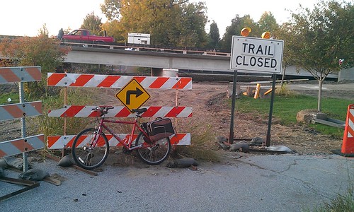
However, I found that the trail was closed at Lindberg where a long running construction project to build a bridge over the bog has raised the roadbed above the level of the trail. Haven’t heard yet how the trail will be routed once the project is complete.
My detour took me down McCormick Rd and then onto Cherry Ln, where I encountered my first screaming motorist in quite a while. Not sure what the driver of this oncoming truck was saying, but I think it was “(something, something) trail right over there!”. He also gestured to the Cattail Trail running along the north side of the street. Since I was riding on the shoulder on the other side of the street, I am not sure why he was upset about me using the pavement (American definition) instead of the pavement (British definition). Whatever! I was having too much fun to care.
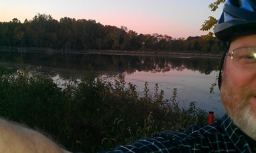
At the end of Cherry I flew down Northwestern Ave, stopping at Greyhouse Coffee for an iced tea latte and coffeecake. Breakfast of Champions.
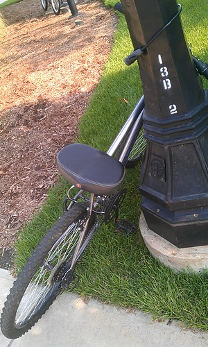
Also, here are a couple of photos of bikes that have been languishing in my camera.

3 Responses to From the North