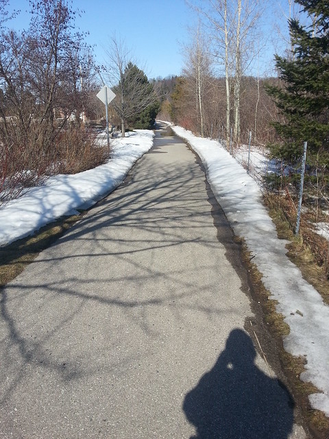
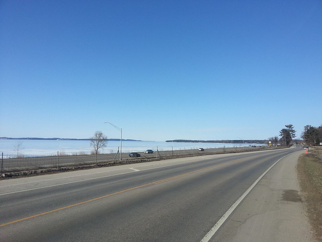
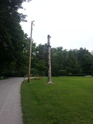
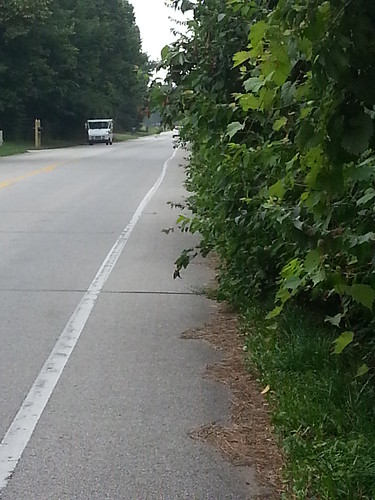
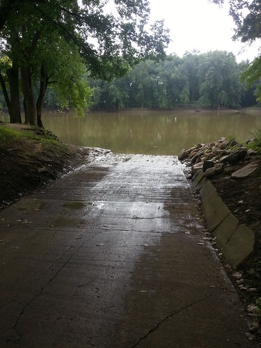
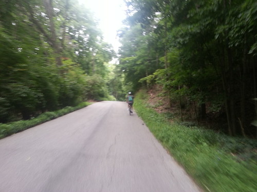
 The US231 Bypass around West Lafayette opened yesterday, so today I decided to try out the bike paths found on each side of the road. Starting at the SR26 intersection, the path follows the new road up to Sagamore Parkway (well, almost all the way. More on that later). This path will most certainly become a staple of my rides to the north side of town.
The path is a little more rolling than the roadway, as it seems that the engineers did less to smooth out the hills than they did for the autos. Nothing difficult, but it does help us get a little exercise – and have fun coasting afterwards.
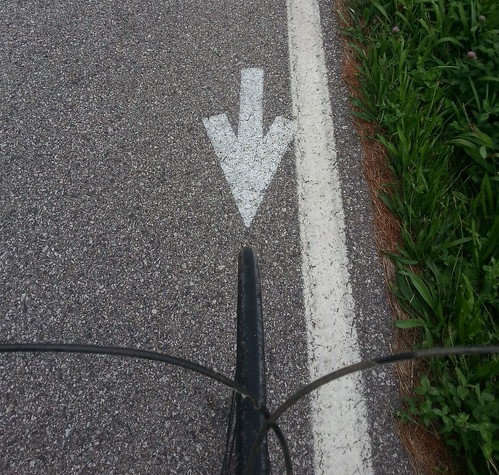
Here’s a question: since there are two paths – one on each side – is it appropriate to think of one as northbound and the other southbound? I saw both runners and a cyclist travelling ‘against traffic’, but I don’t think there is really any rule. However, OCD riders like me will always use the ‘correct path’. 🙂
Features
Maybe a little thing, but I was happy to see that the manhole covers for the sewer line that runs parallel to the path are not actually in the pavement, but off to the side. Makes for a more comfortable ride.
Another nice feature is the fact that at intersections the trail crosses in front of the stop lines painted on the cross streets. (Now we just need to train drivers to observe the lines)
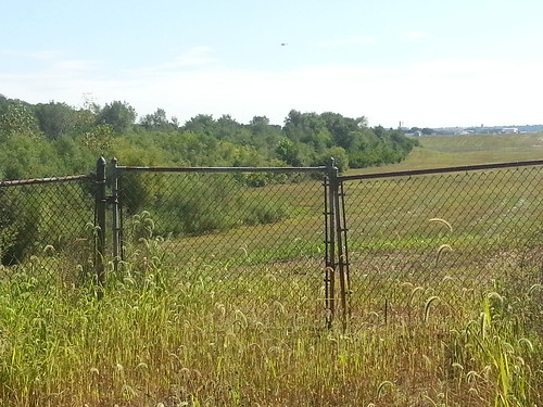
There is a fence separating the bike path from the roadway. I guess all divided highways have these fences, but it feels a little weird to be on the other side.
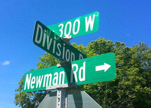
Probably my favorite change as part of the project isn’t related to the bike path – a left turn lane from SR26 to Newman Rd. Regardless of if I’m travelling on my bike or in a car, left turns will be easier and safer for all involved.
Still Work to Do
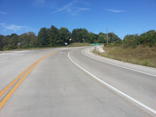
Construction crews are still working on an intersection in front of the Crossroads church – finishing the church entrance and what seems to be a new road heading west through the Wake Robin expansion towards Klondike Road – and in this area both paths are unfinished. Luckily there is a generous shoulder along the road that is suitable for bicycle use.
Road to Nowhere
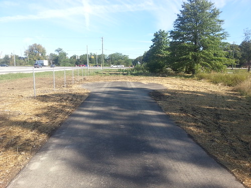
I was surprised to see that the north end of the path just ends with a mini cul-de-sac layout – with no where to go. Today I was able to walk over to the road, but once the fence is finished that won’t be an option. What is the plan? Will they extend the path over to McCormick Road? Until something is worked out, I will jump over to the shoulder at the McCormick Road access. On the southbound side, the current state is a little better, as the trail end is very close to Bethel Drive.
Summary
Overall, these paths are a fine addition to the Lafayette area’s infrastructure. I hope that the State can figure out a better terminus for the north end of each side of the intersection.
Now, why don’t you get out and try this new route? Let me know what you think in the comments.
(View all photos from the ride)

